SUMMARY
- Illinois tornado warnings issued as severe storms cross Chicago region.
- Nearly 7,000 customers lost electricity amid storms and hail threats.
- Airports and emergency agencies monitor Midwest severe weather risks overnight.
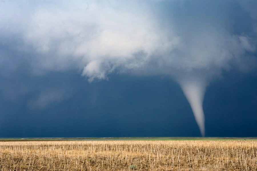
Severe storms sweeping across the US Midwest triggered widespread Illinois tornado warnings Tuesday evening as a large tornado moved through Kankakee County toward northwest Indiana, prompting emergency alerts, flight disruptions in Chicago and thousands of power outages, according to the National Weather Service.
Authorities across northeastern Illinois urged residents to seek shelter as the Illinois tornado warnings expanded late Tuesday.
Meteorologists reported a “very large” tornado confirmed near Kankakee County moving toward northwest Indiana while powerful thunderstorms produced damaging wind, heavy rain and large hail across the Chicago metropolitan area.
The National Weather Service issued multiple severe thunderstorm warnings covering Chicago and nearby counties along with a broader thunderstorm watch stretching across parts of Illinois, Iowa, Michigan and Wisconsin.
Forecasters warned the storms could generate tornadoes, hail larger than two inches and wind gusts exceeding seventy miles per hour.
David King, meteorologist at the National Weather Service, said the Illinois tornado warnings reflected a volatile spring pattern fueled by warm air surging into the Midwest.
Victor Gensini, an extreme weather researcher at Northern Illinois University, said unusually warm early March temperatures can intensify storm systems by increasing atmospheric instability.
Kevin Doom, meteorologist with the National Weather Service Chicago office, urged residents to respond quickly to Illinois tornado warnings.
“If a warning is issued, go indoors and move to a safe shelter immediately,” Doom said, noting that rapidly developing storms can produce dangerous conditions within minutes.
The Illinois tornado warnings were expected to remain active into early Wednesday as storms tracked east across Indiana.
The Federal Aviation Administration reported a temporary ground stop at Chicago OHare International Airport while meteorologists continued monitoring rainfall capable of triggering localized flash flooding.
Climate data show the region has experienced warmer winters in recent decades, a trend scientists link to greenhouse gas emissions.
Researchers say rising temperatures may contribute to more volatile early spring weather across the Midwest, increasing the likelihood of severe thunderstorms during transition seasons.
Emergency managers said crews were assessing storm paths overnight while utilities worked to restore electricity and agencies reviewed safety plans.
NOTE! This article was generated with the support of AI and compiled by professionals from multiple reliable sources, including official statements, press releases, and verified media coverage. For more information, please see our T&C.