
Indonesia’s Meteorology, Climatology and Geophysics Agency said the tsunami early warning triggered by the earthquake had been declared over.
Earlier, authorities had urged residents in affected coastal areas to move to higher ground and stay away from beaches and riverbanks.
The earthquake struck about 30 kilometers northeast of Mbay Nagekeo in East Nusa Tenggara, according to the Indonesian agency.
The quake occurred at a depth of 15 kilometers, while the US Geological Survey placed its epicenter about 68 kilometers north-northwest of Ende.
Officials had warned that tsunami modeling showed potential impacts in East Nusa Tenggara, South Sulawesi and West Nusa Tenggara.
The warning was issued as authorities monitored coastal tide gauges for possible changes. Residents reported significant shaking across Flores.

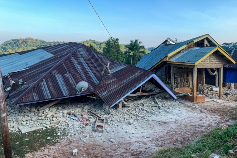
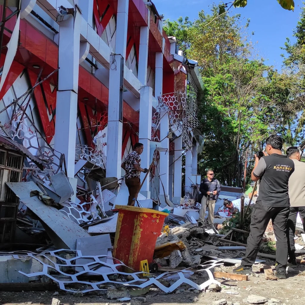
Yohanna Embu, a resident of Sikka, said several buildings were damaged and reported that part of the Pelni port terminal in Maumere had collapsed.
At Ritapiret Seminary in Sikka, students and nuns fled after a roof collapsed during the shaking. Rector Rev. Guidelbertus Tanga said at least one priest suffered a broken leg after jumping from the second floor.
Two aftershocks were reported following the main earthquake. Australia’s tsunami warning center said there was no tsunami threat to the Australian mainland, islands or territories.

Indonesia is highly exposed to earthquakes and volcanic activity because it lies along the Pacific “Ring of Fire.”
Flores has also experienced destructive earthquakes before; a magnitude 7 earthquake in December 1992 generated a tsunami that killed about 2,500 people on the island.
Although the tsunami warning has ended, the reported structural damage highlights the risks posed by shallow, powerful earthquakes in Indonesia’s densely populated island regions. Authorities continue to assess the effects of the latest event.


